Maps for a
world worth
understanding.
I’m McClain. I turn spatial data into maps, tools, and stories that help people understand—and care for—the world around them.
Explore my work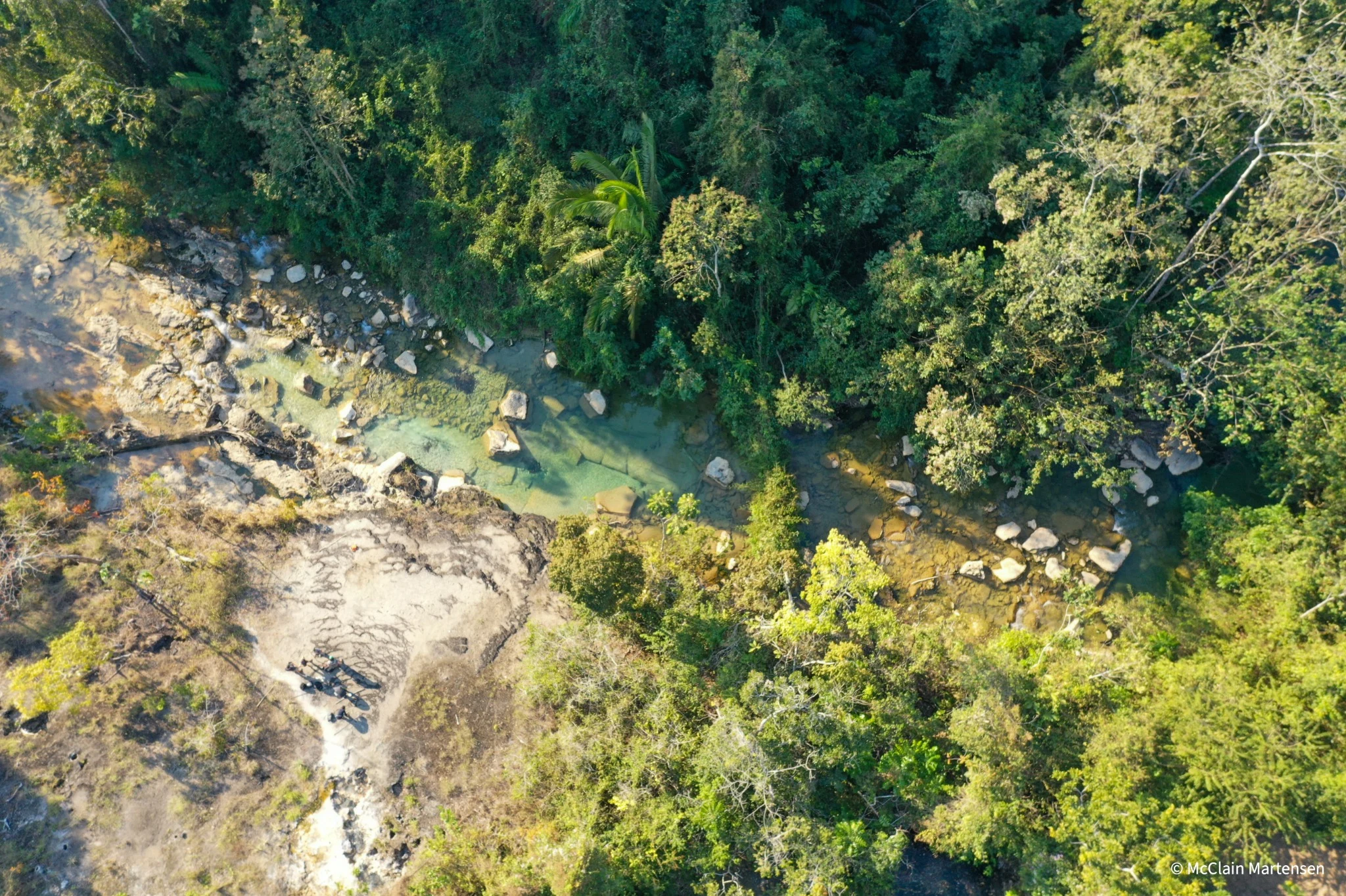
From the field.
Into perspective.
A closer look at the landscapes, questions, and people behind my maps.
 Featured case study / Peruvian Amazon
The Boiling
River Project
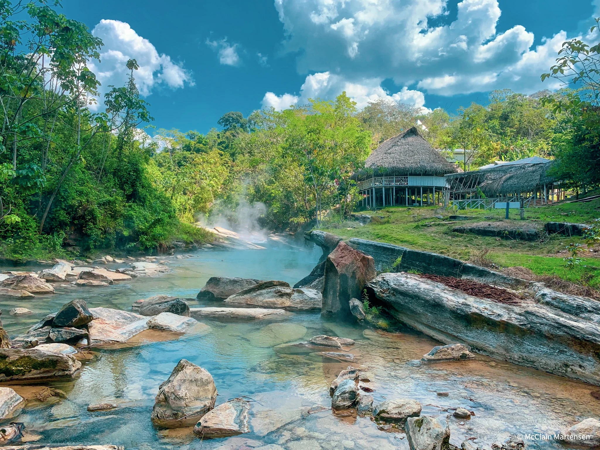
Mapping a river too hot to step into. Drone imagery and orthomosaics supporting Andrés Ruzo’s research into an extraordinary geothermal landscape.
Explore the case study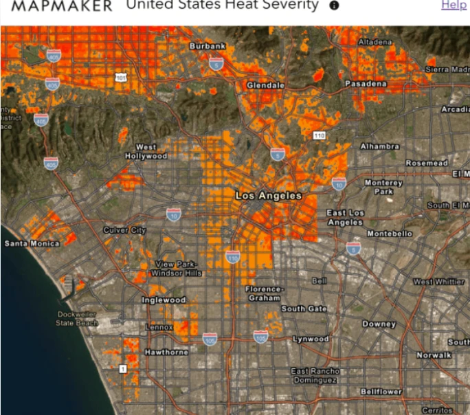
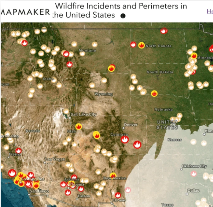
MapMaker
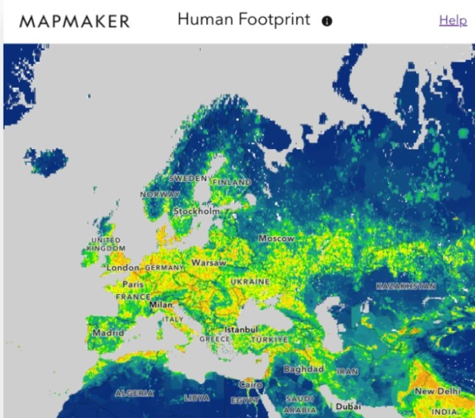
Geospatial analyses, interactive layers, and articles that help students explore the world through maps.
View the case studyThrough change.Leaflet + D3.js
Denver transit through COVID-19
Linking bus stop frequency, census tracts, and socioeconomic data to explore pandemic-era service changes.
View the case studyCuriosity brought
me to GIS.
Purpose keeps me here.
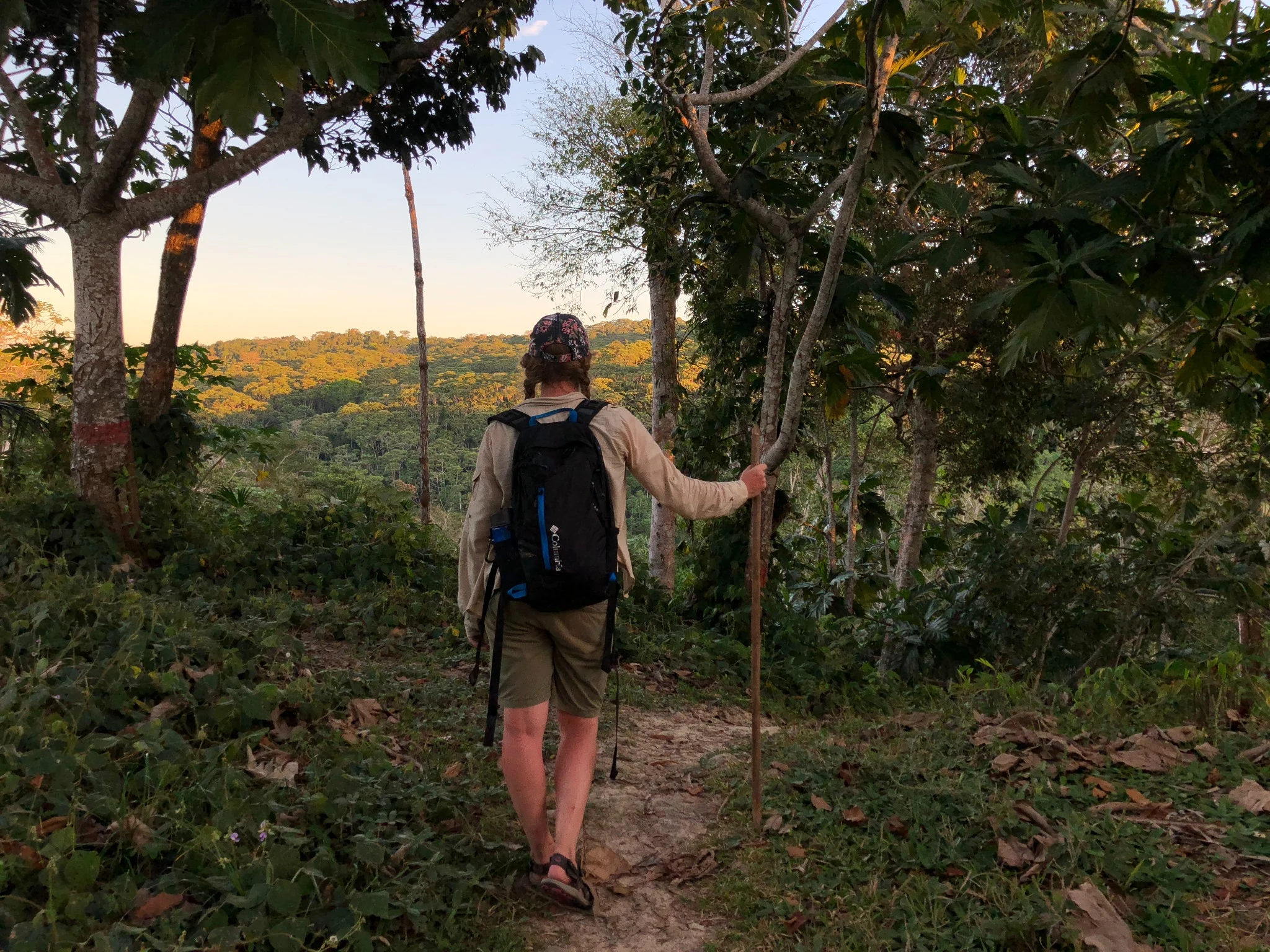
I’m originally from Dallas, but I’ve spent the better part of the last decade living in Colorado’s mountains, calling Boulder and Nederland home. My first GIS project traced monarch butterfly migration. That curiosity eventually took me into the Peruvian Amazon to fly drones, map rivers, and support environmental research.
I’m especially drawn to environmental research and the balance between cartographic design, thoughtful user experience (UX), and sharing impactful data. I want the maps and tools I create to make complex information approachable, spark curiosity, and help people understand the landscapes and communities around them.
Good work starts
with a conversation.
Interested in geospatial technology, environmental research, or a thoughtful map? Let’s connect.