← Back to selected work
Published work / 02 · GISetc × National Geographic

MapMaker.
Maps that spark curiosity.

Geospatial analysis and educational writing that help students connect the patterns on a map to the world around them.

My contribution
GIS analysis & educational writing
Collaboration
GISetc & National Geographic
Audience
K–12 students & educators
Selected work
9 published resources
Making spatial data approachable

A map is an invitation
to ask better questions.

Through GISetc, I worked with National Geographic on MapMaker, pairing geospatial analyses and map layers with articles that make complex science and geography accessible to students.

My work brought together spatial data interpretation, thematic mapping, and educational storytelling—from environmental pressures and natural hazards to population patterns and movement. I worked with educators and project stakeholders to connect the maps to meaningful classroom questions.

About National Geographic MapMaker ↗
More published work

A wider spatial lens.

Six more examples across Earth science, climate, and human geography.

Map previews are from the supplied screenshots of National Geographic MapMaker resources; the tornado preview is the linked ArcGIS item’s thumbnail. Articles and interactive layers open on their original platforms, where data providers and project contributors are credited.

Explore the featured project

From the classroom
back to the field.

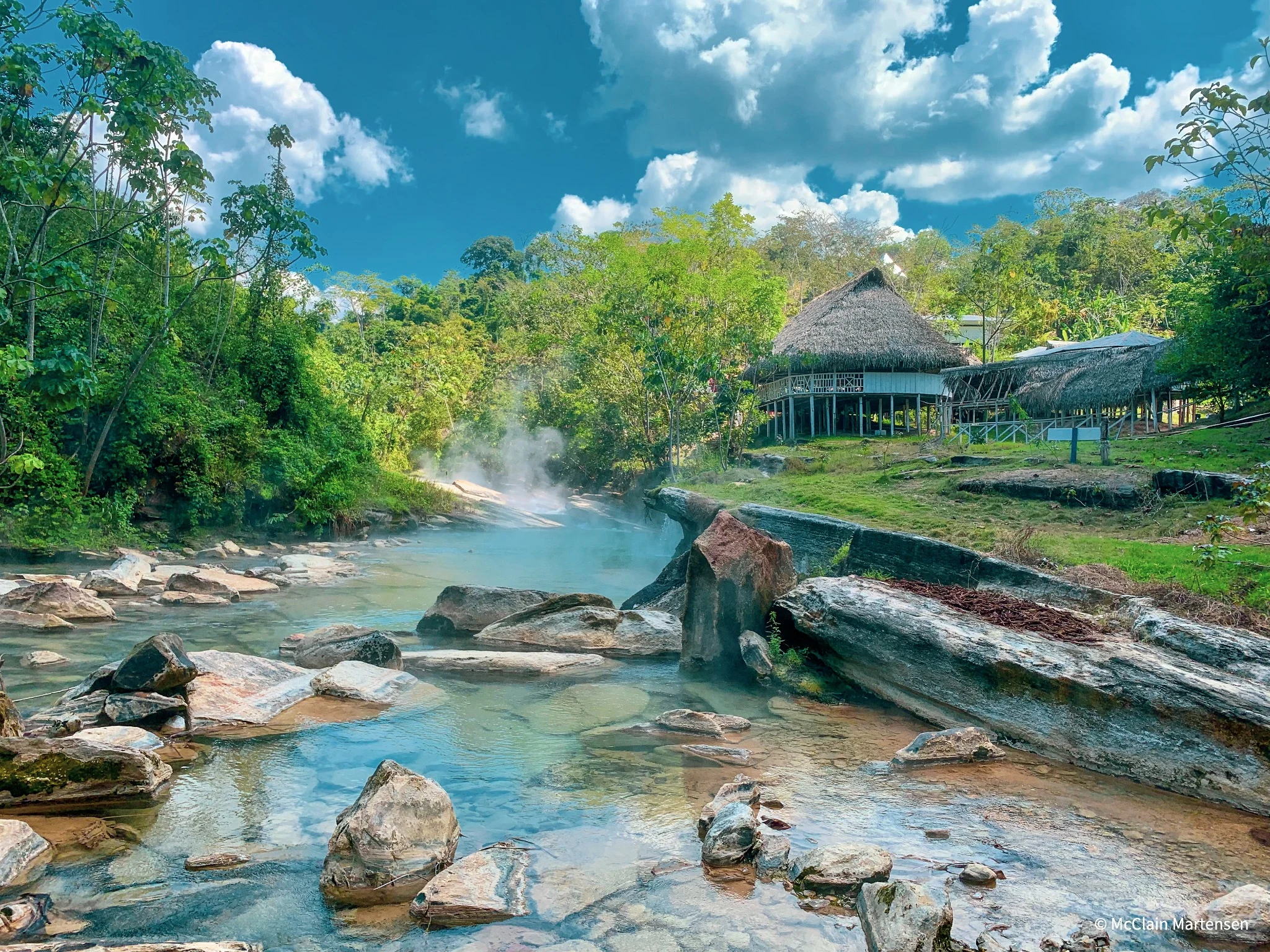
See how I used drone mapping to support research at the Boiling River in the Peruvian Amazon.

The Boiling River Project
Steam rising from the Boiling River beside a wooden bridge